Ian Payne 4am - 7am
14 September 2020, 19:14

Tropical Storm Sally is expected to become a hurricane by landfall, bringing with it as much as 2ft of rain.
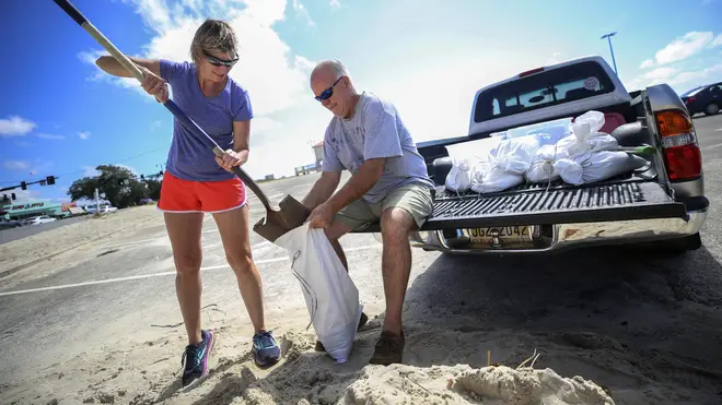
Storm-weary residents are preparing for a new weather onslaught as Tropical Storm Sally heads towards the US Gulf Coast.
Forecasters predicted it will become a hurricane by landfall and said the biggest threat is flooding, with as much as 2ft of rain falling in some areas.
The National Hurricane Centre said Sally is “expected to be a dangerous slow-moving hurricane near the coast of south-eastern Louisiana, Mississippi and Alabama during the next two to three days”.

Sally is one of five tropical cyclones churning in the Atlantic basin, meteorologist Philip Klotzbach said.
Paulette, Rene, Teddy and now Vicky also are spinning over ocean waters.
The National Hurricane Centre said it is too early to tell exactly where Sally will come ashore because it is still not known when it will make a turn to the north.
At 10am local time, it was about 140 miles east-southeast of the mouth of the Mississippi River.
Its top sustained winds were 65mph and it was moving towards the coast at just 6mph.
People in New Orleans are watching the storm’s track intently.
A more easterly landfall will likely bring the heavier rains and damaging winds on to the Mississippi coast, or east of that.
Already outer bands from the storm are hitting the Florida Panhandle.
A more westerly track will pose another test for the low-lying city, where heavy rains have to be pumped out through a century-old drainage system.
Officials with the Sewerage and Water Board said on Sunday that all of the pumps were in operation ahead of the storm but the ageing system is also susceptible to breakdowns.

“I know for a lot of people this storm seemed to come out of nowhere,” Louisiana Governor John Bel Edwards said.
“We need everybody to pay attention to this storm. Let’s take this one seriously.”
Mississippi officials warned that the storm is expected to coincide with high tide, leading to significant storm surge.
“It needs to be understood by all of our friends in the coastal region and in south Mississippi that if you live in low-lying areas, the time to get out is early tomorrow morning,” Governor Tate Reeves said late on Sunday.
Pensacola, on Florida’s Panhandle, was bracing for 25cm to 38cm of rain.
Sally could produce rain totals up to 61cm by the middle of the week, forecasters said.
Its maximum sustained winds on Monday morning were 60mph.
“That system is forecast to bring not only damaging winds but a dangerous storm surge,” said Daniel Brown, of the Hurricane Centre.
“Because it’s slowing down it could produce a tremendous amount of rainfall over the coming days.”
A mandatory evacuation has already been issued in Grand Isle, Louisiana, ahead of the storm.
On Saturday, New Orleans Mayor LaToya Cantrell issued a mandatory evacuation order for Orleans Parish residents living outside of the parish’s levee protection system.
All northern Gulf Coast states are urging residents to prepare.
“It is likely that this storm system will be impacting Alabama’s Gulf Coast,” Alabama Governor Kay Ivey said.
“While it is currently not being predicted as a direct hit to our coastal areas, we know well that we should not take the threat lightly.”
She urged residents to prepare and stay informed of the storm’s path in the coming days.