Clive Bull 1am - 4am
16 February 2022, 18:58 | Updated: 16 February 2022, 19:14

Trampoline on tracks halts train as Storm Dudley batters UK
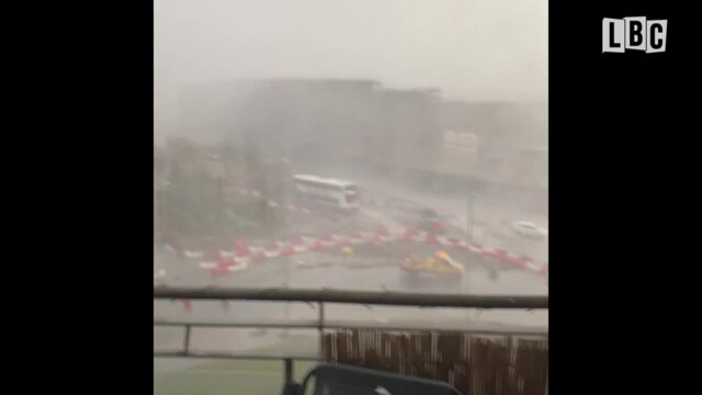
A train has been halted by a trampoline in Wales as Storm Dudley sweeps the country, with torrential rain and howling winds causing travel chaos.
People travelling from London to Cardiff on Wednesday afternoon faced an unexpected obstacle to their journey when a trampoline crashed on to the tracks, bringing a Great Western Railway train to a standstill.
It came as Brits have been warned to think twice before they travel as Storm Dudley continues into the rest of the week, with Storm Eunice set to take over from Friday.
The Met Office issued several amber and yellow weather warnings across the UK for coming days, maintaining that the extreme weather conditions could lead to "longer journey times and cancellations" as well as uprooted trees and large waves smashing coastal areas.
As of 5pm, Capel Curig in Wales experienced gusts of up to 81mph, with Emley Moore in Yorkshire seeing 74mph winds, while Drumalbin in Scotland was hit by 71mph gales.
However, winds are set to get even stronger, reaching up to 100mph in Wales on Friday, with the public being told to stay indoors where possible.
Read more: Storm Dudley hits UK as new weather warnings for snow and wind issued ahead of Eunice
Read more: Jabs for five-year-olds: Six million primary school children to be offered Covid vaccines
Do we expect windy conditions to continue?
— Met Office (@metoffice) February 16, 2022
Here's @aidanweather with our latest 10 Day Trend
👇 pic.twitter.com/rXCk69VPSU
Met Office forecaster Greg Dewhurst said: "We've seen Storm Dudley move in over the course of today with strong winds and heavy rain across northern parts of the country.
"This is a complete contrast to areas in the south which have been rather mild and calm for the most part, the temperature even reaching 17C in some areas.
"Exposed areas in Scotland, Northern Ireland, parts of Wales and northern England have seen wind speeds largely between 60 and 70mph but the worst affected areas have reached and even surpassed 80mph this afternoon.
"In terms of rainfall the highest we've seen in the past 24 hours is 36.8mm in Low Laithes in west Yorkshire, which is a good amount for the time period.
"These conditions are likely to continue into the evening before mellowing out in the early hours of Thursday."
Looking ahead to #StormEunice on Friday, we are expecting to see even more dangerous weather conditions moving in 💨
— Met Office (@metoffice) February 16, 2022
Here are the forecast wind gusts 👇 pic.twitter.com/n7OHiU7vLJ
In preparation for Storm Eunice, which is expected to bring even worse weather from Friday, London North Eastern Railway have warned people to make their journeys on Thursday instead or get a refund.
Meanwhile, some rail services in Scotland have been forced to suspend services due to the storm.
ScotRail wound down almost all services from 4pm on Wednesday amid fears of falling trees and blowing debris as wind speeds continue to increase to more than 80mph.
Ferries in the north have also been severely disrupted, with 20 of the 29 routes experiencing cancellations.
On the roads, Green Flag has predicted a spike in breakdowns across the country.
Mark Newberry, commercial director at Green Flag, said: "As a result of these weather conditions, we urge drivers to remain cautious and to carry out the relevant safety checks before setting off on their journeys.
"It's particularly important that people are as prepared as possible to withstand the high expected wind speeds and potential snow in some areas."

Storm Dudley batters the UK