Nick Abbot 10pm - 1am
9 April 2024, 23:39

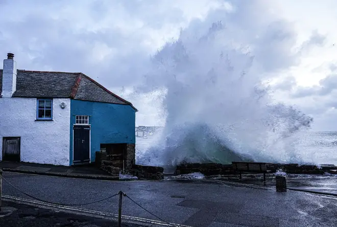
The Met Office has revealed the exact dates snow is expected to fall in the UK after Storm Kathleen.
One person was taken hospital with hypothermia and over 200 others were taken to safety today after a river in West Sussex burst its banks following Storm Kathleen.
Flooding brought traffic and travel disruption to many other parts of southern England, including the Isle of Wight, Hampshire, Bristol and Somerset.
There were two yellow weather warnings are in place on Monday and one for rain on Tuesday.
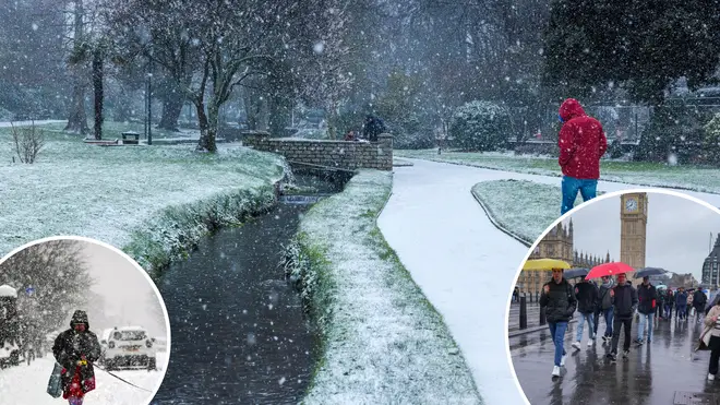
Looking ahead, using the Met Office's long-range forecast, there could be snow on the way - despite being several weeks into spring.

Covering the period from April 14 to 23, the long-range forecast reads: "The weather is likely to remain generally unsettled, at least in the north, with the focus for the most persistent rain and showers across north-western parts of the UK.
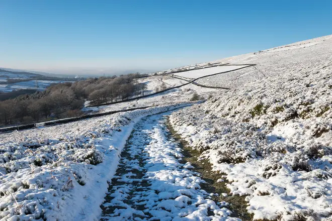
"Here, rain could be heavy at times, especially in upland areas, with some snow mainly over high ground.
"This colder, northerly flow will possibly give way to something milder from the Atlantic, but timing on this change is uncertain. Windy spells of weather are also likely, particularly in the north."

Sadly, looking ahead even further, the UK is not likely to experience any prolonged, sunny and warm spells until May.
The second half of the forecast, which runs from April 24 to May 8, reads: "High pressure, which is likely to become established to the north of the country, could at times influence the whole country with some widespread interludes of fine, dry and settled weather.
"Temperatures likely to start off rather cool, but overall through the period will likely trending to above average, with warm days, but overnight frosts likely in more settled spells."