Ian Payne 4am - 7am
28 March 2022, 16:34

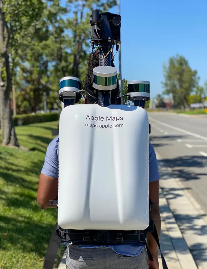
The scheme will involve special mapping data backpacks used to survey pedestrianised areas.
Apple has launched ground surveys on the streets of London, Birmingham and Manchester to gather pedestrian data for its Apple Maps service using special backpacks to capture the necessary data.
Starting on Monday and running until mid-May, the backpacks – which feature cameras and other sensors for mapping data collection – will begin to appear in areas of the three cities where it is not possible to drive.
The data gathering is part of a project to improve Apple Maps and its Look Around feature, which enables app users to jump into the map and get a street-level view of an area to help navigate or find nearby businesses.
Apple said it will use the backpacks in pedestrianised streets, parks, city squares and transit stations where it is not possible to use sensor-mounted cars, and in order to create more accurate 2D maps of these locations.

The company said areas in Birmingham such as The Bullring, New Street and Edgbaston Street will be part of the focus of the project.
In Manchester, St Peter’s Square, Shambles Square and Albert Square will be among the areas mapped using the backpacks.
“Apple is conducting ground surveys with vehicles around the world to collect data to improve Apple Maps and to support the Look Around feature,” the technology giant said.
“These pedestrian surveys allow us to improve and update Apple Maps in areas where vehicles simply can’t go while using the same privacy protections as the Apple Maps vehicles.
“We are committed to protecting your privacy while conducting these surveys. For example, we will censor faces and licence plates on images that are published in Look Around.”