Iain Dale 7pm - 10pm
10 January 2024, 19:46 | Updated: 11 January 2024, 11:47

Brits are set to shiver through the worst snow storm in 14 years next week, as several days of freezing weather grip the country.
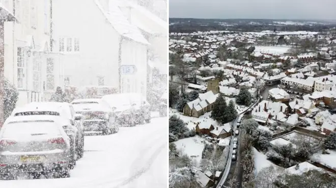
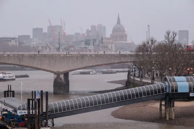
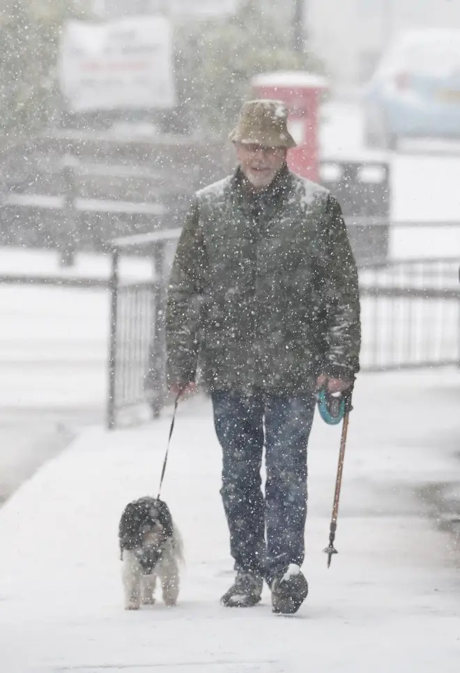
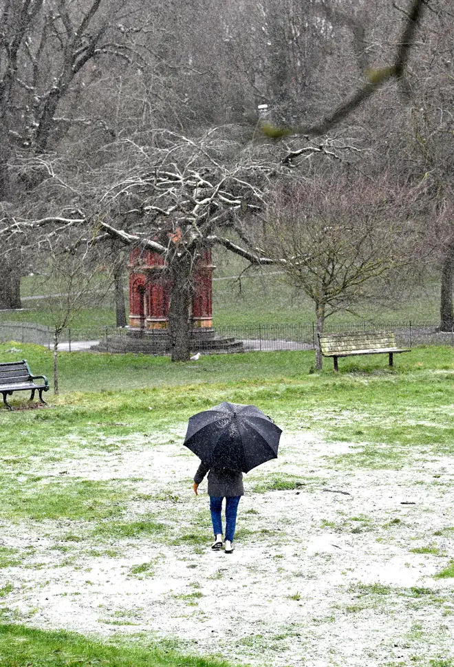
Britain has already endured a very cold start to the year, with snow hitting London and the south-east earlier this week.
The cold snap is set to continue into next week, with more snow expected from Sunday in Scotland, according to forecasters WXCharts.
James Madden of forecasters Exacta Weather said that the risk of snow was higher than at any point since "the big freeze of 2010".
He added: "It is likely we are about to start seeing images of vast regions of the nation covered in snow during a cold spell which is likely to hold out for an extended period.

"As well as the risk of snow, we will see harsh overnight frosts and the coldest temperatures dipping as low as -15C in the coldest parts of the country over the coming weeks."
Mr Madden said that for Sunday there was "increasingly high risk for... heavy and widespread snow showers to start developing across large parts of eastern England, and literally from as far north as Scotland/north east England, to parts of the far south and south east England/London".
They also said that snow showers could pop up in Wales and western England on Sunday.
Snow will continue on Monday in the north-east and east of England, although it will start to "peter out", the forecaster said.

More snow showers will fall on Tuesday and Wednesday in "a pretty big snow event", Mr Madden said.
The picture after that is more difficult to predict, he said, although snow is likely to continue in some parts of the country towards the end of the week.
Mr Madden said: "However, the main focal point should be on the consistently colder temperatures that we will be facing over the coming weeks, and how this will allow any passing weather fronts and areas of unsettled weather to result in widespread snowfall for many parts of the country, and when I say literally anywhere could see snow from next week, I literally do mean this.
"When I say literally anywhere could see snow from next week, I literally do mean this."

Other forecasters have given different views. The Met Office said: "Winter weather hazards remain largely in focus, and an increasing risk as we move through the week."
Discussing the forecast for next week, Met Office meteorologist Aidan McGivern said: "We start with a northerly airflow and snow showers, especially near the coasts in the north.
"But there will also be brighter skies for some. Then, from the middle of next week, low pressure tries to move in from the southwest, and the impact of this is still a bit uncertain at this range.
"Different models are saying different things in terms of the track of this low, but you have the ingredients for snow with cold air in place and additional moisture supplied from the Atlantic, which will bring rain, but on the boundary with the cold air, you could see some snow."