
Shelagh Fogarty 1pm - 4pm
3 August 2023, 16:23 | Updated: 3 August 2023, 17:29
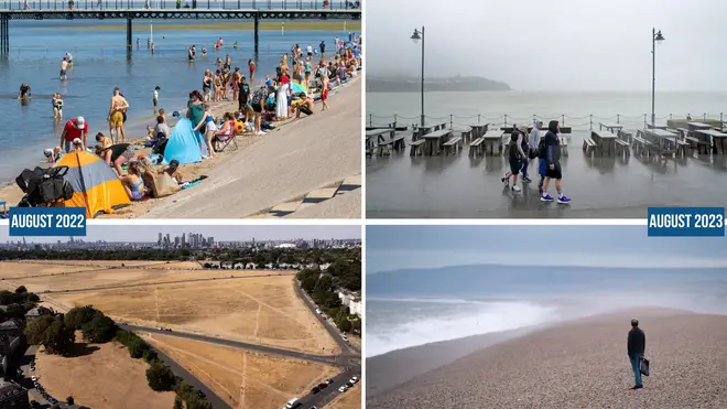
It has not been the summer millions of Brits had hoped for, with plenty of cloudy, rain, and even lightning.
Beaches that are usually full to the brim with tourists from across the UK and beyond are like ghost towns.
July was one of the country's wettest on record. Unfortunately, heavy rain is expected to continue well into August.
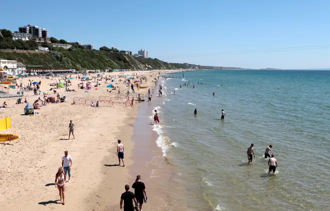
This marks a stark difference compared with the same time last year, when Brits basked in glorious sunshine and soaring temperatures.
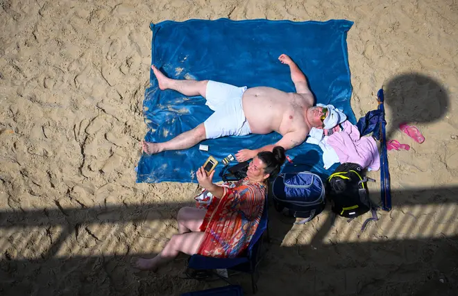
Take Boscombe beach in Bournemouth. Below, you can see two Brits revelling in the sun.
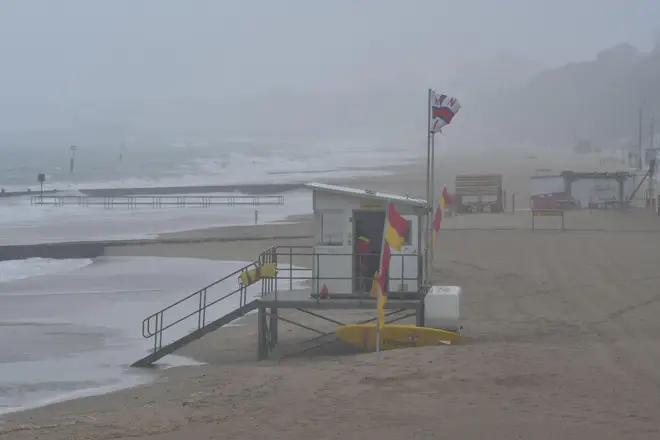
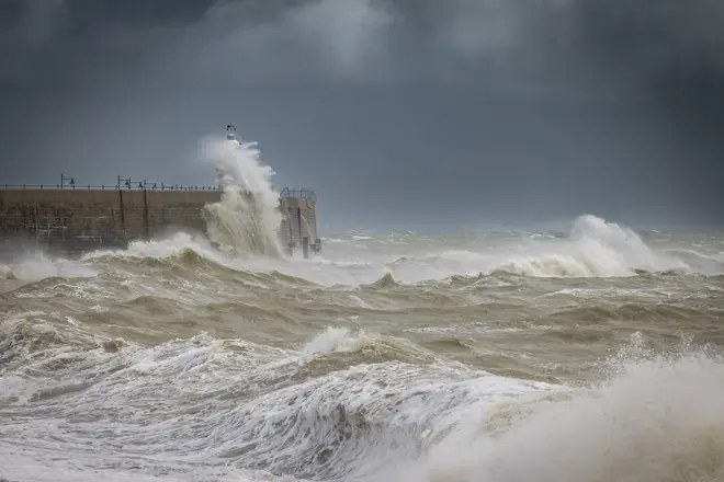
What a difference a year makes.
There are no tourists in sight as a foggy haze, strong winds and rain take over.
Storms battered a number of areas across the UK on Wednesday, with further warnings of heavy rainfall covering most of England on Saturday.
That covers a number on the south coast, including Southampton, Portsmouth, Bournemouth, and Brighton.
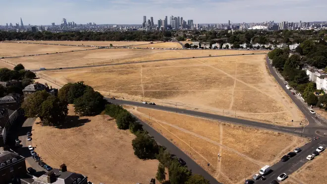
Take yourself to London and you get a similar picture.
Londoners also enjoyed a blistering hot summer in 2022, as temperatures soared past 40C for the first time, leaving the capital's iconic parks torched.
A year later, a number of artists, including Ronan Keating, performed in front of a wet and soggy crowd on Blackheath Common on one of July's wettest days.
Read More: New Met Office forecast for rest of August dampens hopes of 32C heatwave

There has been no improvement so far in August, with many parts of the UK experiencing the same wet and windy weather that dominated July.
Unfortunately, it's going to remain just as bleak for the next week or so, but after that we should see some improvements.
According to GFS weather forecasts, parts of the UK could hit 32C on August 12.
Jim Dale, senior meteorologist for British Weather Services, said the UK will finally experience a delayed start to summer thanks to an Azores high pressure system.
"An Azores high is migrating towards and across us and it all starts this time next week if all goes as currently seen," Jim Dale, senior meteorologist for British Weather Services, told the Express.
Read More: Exact date 32C heatwave will hit UK signalling end to wet and windy summer
He continued: "There should be a south to north progress with 32C in south east England by August 12, in my opinion, though, it's still a forecast for now."
"The gradual change is simply down to a change in airstream; cool northerlies at times this week.
"Warm/hot southerlies later next week as the high pressure tracks across us and then out to the east."
According to the Met Office, the UK is likely to see warmer temperatures towards the end of the month, though have dampened hopes of a 32C heatwave.
A new long range forecast reads: "During the second half of August, there is a greater chance of more settled spells developing, with warmer and drier conditions becoming slightly more likely than the unseasonably unsettled weather of July.
"However, unsettled conditions are never too far away and so there will likely still be some spells of rain or showers for many areas from time to time.
"Overall, temperatures look like they will recover to at least average, or a little above, however any prolonged dry or hot spells appear to be unlikely."