Clare Foges 6pm - 9pm
12 July 2023, 12:53 | Updated: 12 July 2023, 13:01

Brits are being warned thunderstorms could be around the corner for parts of the UK – with no sign of summer weather returning yet.
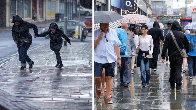
Thunderstorms and heavy showers may be about to hit the UK in a new forecast issued by the Met Office.
In the forecast, they told Brits to brace themselves for the potential arrival of thunderstorms as “unsettled” conditions are expected to continue over the coming days – and potentially spill over into the weekend.
It comes after the UK has been battered by showers in recent weeks, in stark contrast to June's sweltering heat.
The northwest of England, Northern Ireland and parts of northern Scotland are expected to be among the regions most heavily affected by the potential storms.
Despite the heavy showers and looming thunderclouds, temperatures still look to average at around 23 degrees across the country.
“The UK is predominantly under the influence of low-pressure, which is continuing a showery regime, with some potentially heavy and thundery showers possible at times through the week,” Chief Meteorologist Andy Page of the Met Office said.
“While not everywhere in the UK will experience the heaviest downpours, it will remain an unsettled and relatively cool period, in stark contrast to the heat we experienced in June.”
🌦️ A mixture of bright or sunny spells and scattered showers this afternoon
— Met Office (@metoffice) July 12, 2023
⚡ Showers could turn locally heavy and thundery
💨 Rather breezy in the south, especially across the English Channel and gusty around around any sharp showers pic.twitter.com/EInXody8mh
The change in weather is being chalked up to a shift in the jet stream, which is a core of air currents above the Earth’s surface.
And the Met Office said they can’t rule out the potential of more weather warnings in the near future either, as Brits remain hopeful the sun will return in time for the school summer holidays next week.
Met Office Meteorologist and Presenter Alex Deakin also said: “What we’re seeing with the jet steam is this shift more towards being directed towards the UK from the southwest, which is helping to push low pressure systems towards the UK.
“Ahead of the weekend, the jet steam is looking to be relatively strong and, as well as bringing a period of some more persistent rain for many, it’s also bringing some strong winds and continuing this fresh period of weather.”
It comes after the UK experienced a lengthy heatwave in June, with countless days of scorching heat.
For the upcoming weekend, the Met Office added: “Low-pressure through the weekend is likely to shift from the southwest towards the northeast, bringing some persistent rain for many as it moves across the UK. There’s a chance warnings may need to be issued closer to the time, once the track of the system is more clearly defined in the forecast.”