Clive Bull 1am - 4am
4 February 2021, 00:26 | Updated: 4 February 2021, 12:29

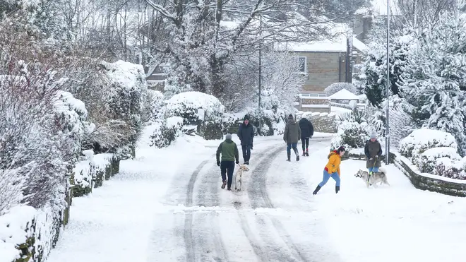
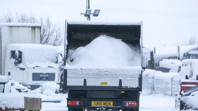
The Met Office has issued amber weather warnings across northern parts of the UK which faces five days of snow and ice.
The warnings for heavy snow come into force in northern Scotland in force from midnight on Thursday until 6pm on Saturday, meaning communities could be cut off for several days.
The Met Office also warned there could be long interruptions to power supplies and services such as gas, water and mobile phone coverage.
There are three yellow weather warnings for snow for Thursday covering most of Scotland and northern England, meaning drivers risk becoming stranded and power cuts are possible.
The Met Office said 10cm to 20cm of snow could fall on higher ground, with 40cm predicted to fall over the Grampians.
There is also a yellow warning for rain covering lower parts of Scotland and Northern England in force until midday on Saturday, meaning localised flooding is likely.
A similar warning for rain is in place covering most of Counties Derry, Antrim, Down and Armagh until midnight on Thursday.
Read more: UK joins together in national clap for Captain Sir Tom Moore
Read more: New study to determine whether it is safe to mix Covid-19 vaccines

Mark Sidaway, Met Office deputy chief meteorologist, said: "Into the weekend, snow will continue across much of Scotland, and is likely to increasingly fall to low levels before beginning to move south into northern and eastern England.
"We are likely to see some very large accumulations across higher parts of Scotland especially, with strong winds leading to significant drifting and blizzard conditions at times."
Over the past few days, southern England has enjoyed relatively mild temperatures, with the mercury hitting 11C in places, but it will also see winter tighten its grip.
Read more: PM says Covid-19 cases 'still alarmingly high' despite vaccine milestone
Read more: Captain Sir Tom Moore's grandson pays incredible tribute on LBC
Thursday will see some sunshine in many central and southern areas before showery rain spreads north 🌦️
— Met Office (@metoffice) February 3, 2021
Cold in the far north of Scotland with wintry showers and cloudy elsewhere with further periods of heavy #rain and hill #snow for many ❄️ ⚠️
Here is your Thursday #4cast 👇 pic.twitter.com/BAWU6nHv1W
Mr Sidaway said: "Although amounts of snow across England are likely to be less than seen across Scotland, the potential is there for some heavy snow across eastern England later in the weekend, and perhaps elsewhere in southern Britain as we head into next week, with very cold easterly winds."
A yellow weather warning stretching from Norfolk all the way up the east coast of England will come into force at 3pm on Saturday and remain in place midnight on Monday.
Some 2cm to 4cm of snow could fall in the North East of England, with 6cm to 8cm potentially falling on east-facing slopes.
There are also ongoing flood issues, with the Environment Agency issuing 43 flood warnings in England - meaning immediate action is required - while there were 154 flood alerts as of Wednesday evening.
Natural Resources Wales had four flood alerts, including along the Upper Severn in Powys and for South Pembrokeshire.