Nick Ferrari 7am - 10am
24 January 2024, 14:44

Snow is set to return to the UK for the second time already this year, after several storms caused travel chaos and power cuts.
Storm Isha and Storm Jocelyn have battered the UK this week, with winds nudging up towards 100mph.
Several people have died, and the wintry weather has also brought major transport disruption.
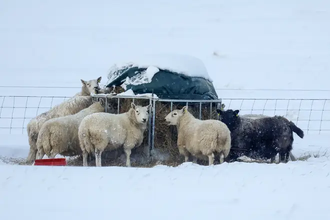
Snow hit the UK earlier in January, with more than 100 schools forced to close in England and Scotland, and chaos striking roads and railways.
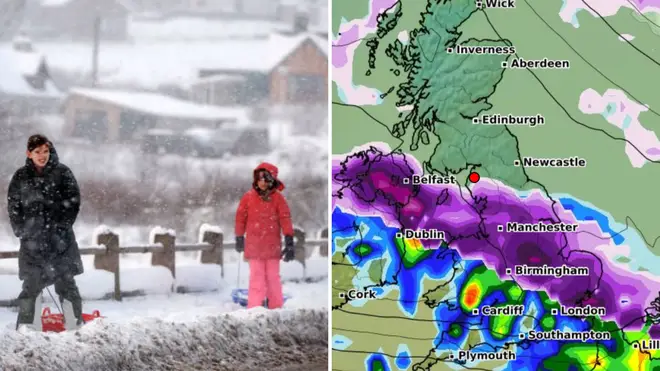
Now a forecaster has said that some Brits could soon get the year's second round of snow towards the end of next week, before a bigger shower on February 2 and 3.

ExactaWeather's James Madden said: "Our projections are consistently showing up the potential for another temporary snow event towards the end of the working week and into next weekend that could bring further heavy snow to the north/Scotland, and potentially to parts of northern England, Wales and Northern Ireland/Ireland within this period.
"This is only likely to be a passing snow event for later next week and not the return of the cold and snow proper," he told the Daily Star.
"However, we do expect some major snow and cold weather to start gaining significant ground to return for in and around February 2 and 3, possibly a little earlier or later depending on a small standard deviation for any timeline changes between now and then.
"A strong Greenland blocking pattern is also something that we have repeatedly and consistently insisted would happen for February and from as early as September, due to an earlier and now confirmed sudden stratospheric warming (SSW) event."

WXCharts, another forecaster, shows patches of snow arriving in the UK from the west on February 3, spreading from Scotland into parts of northern England and the Midlands over the days that follow.
The forecaster suggests that more snow could follow over the next week, which will also affect London and southern England.
But the Met Office did not make any mention of snow over the same period in its long-range forecast.
They said: "Cloud and outbreaks of rain gradually move southwards across the UK during Sunday, lying across central areas before moving back north during Monday.

"Some heavy rain is possible at times, particularly across hills in the west. Through the remainder of the period, changeable with spells of rain at times, but also some drier, brighter interludes.
"The heaviest and most frequent rain will tend to be across north-western areas and accompanied by periods of strong winds.
"Further south and east settled periods are likely to be more prevalent, with the best of any sunshine and drier weather here.
"Temperatures are expected to be milder than average overall, although this doesn't preclude shorter, colder spells at times, with a risk of overnight frost and fog accompanying more settled conditions."