
Iain Dale 10am - 1pm
9 January 2024, 12:43
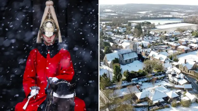
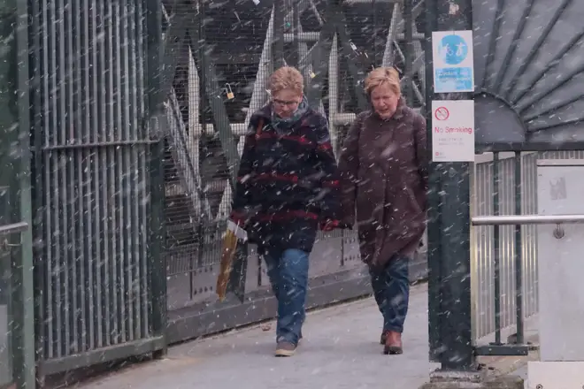
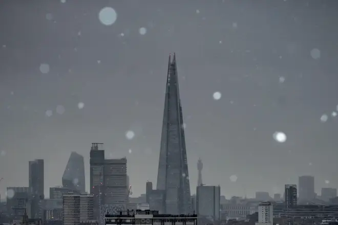
Brits have been shivering in freezing and low temperatures for weeks, with London and the south-east even getting a light dusting of snow on Monday - and more is to come.
Forecasters have revealed that snow is set to fall again on Sunday (January 14) and Monday (January 15), as well as every day until Friday, January 19.
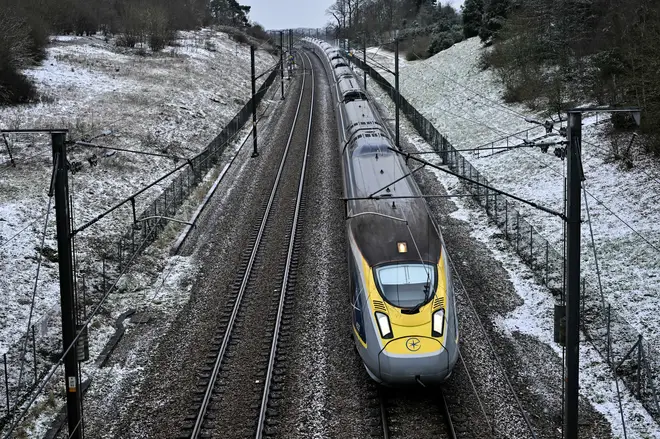
The recent bout of snowfall mostly affected London and the south-east of England, with warnings of disruption on the roads and railways.
But the next period of snow is set to fall in Scotland at first, before later heavier snow showers move further south into the Midlands on January 17 and January 18.
A separate forecaster, Weathertrending's John Hammond told LBC's Nick Ferrari at Breakfast on Monday, suggested that the snowfall next week could cause chaos.
Read more: Polar blast hits Britain: Snow set to fall again as temperatures plunge to -9
He said: "Just a quick heads up, as we look towards next week, much colder air could well be heading down from the north, so that’s one to watch."
"I think disruptive snowfall is on the cards as we look into next week."
The Met Office said: "Into the start of the following week, it is likely to turn colder as northerly winds begin to develop across of the UK and bring a risk of snow showers, particularly across the north."
And temperatures are expected to stay low for most of the rest of January, after a cold start to the year.
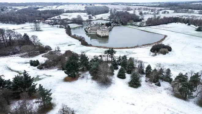
Freezing temperatures overnight and readings only as high as 4C in the day in many areas mean Brits are likely to need their winter coats in the next few days, the Met Office said on social media.
Forecasters also said that the cold spell could continue for the rest of the month.
According to the Met Office's long-range forecast from January 19 to February 2: "Compared to normal, there is an increased chance of colder than average conditions during this period.
"Currently the chance of widespread severe cold is still deemed low, but still the risk of impacts from cold, including ice and snow is greater than normal.
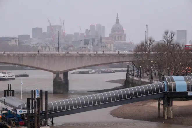
"It is likely to be drier than recent weeks, but what does fall is more likely to be of a wintry nature.
"While there is a chance of brief, unsettled spells, which would bring milder air for a time, it would likely also be accompanied by a period of sleet or snow.
"However, when, or even if, this would happen is very uncertain, and overall the main theme will be much more in the way of settled conditions through this period."
On Monday, Sadiq Khan activated the severe weather measures to protect homeless people amid the snow and ice. London councils and homelessness charities will open additional emergency housing for people who are sleeping rough.
The London mayor said: “As the cold weather returns, we stand ready to help the most vulnerable in our society.
"With temperatures dropping below zero across the capital I’ve activated my Severe Weather Emergency Protocol to make sure anyone seen sleeping rough in these freezing conditions is offered a place in emergency accommodation.
"They will also be offered support to move on to the safe, secure accommodation they need."