Ian Payne 4am - 7am
21 September 2023, 09:53 | Updated: 21 September 2023, 10:09

The remnants of Hurricane Nigel are set to hit the UK this week, with the recent wet and stormy weather continuing.
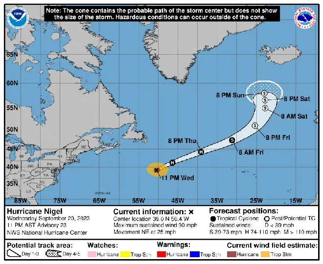
The after-effects of Nigel, which is currently in the North Atlantic, are expected to hit the UK on Sunday.
It will no longer be a hurricane at that stage but is set to bring very wet and windy conditions.
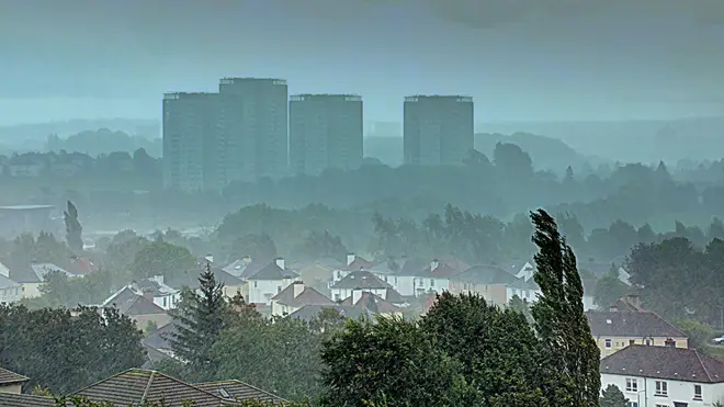
It comes as the remnants of Hurricane Lee continued to batter the UK this week, with yellow weather warnings put in place by the Met Office until 6pm on Wednesday.
Some parts of the west of the country were expected to see 100mm of rain fall. This was expected to rise to 200mm in high-altitude areas like Snowdonia in Wales. Snowdonia's average rainfall is between 75mm and 98mm for the months of September and October.
Read more: Commuter chaos as thunderstorms and heavy downpours cause travel disruption for thousands
Read more: Moment Dorset houses burst into flames after being struck by lightning


Met Office forecaster Graham Madge said: "On Sunday, we will start to see the influence of ex-tropical Hurricane Nigel, which will be offshore in the mid-Atlantic.
"These systems have a long reach, it will increase rainfall rates and also winds to bring unsettled weather to the UK."
He added: "Although we’ve indicated that there could be flooding associated with the reasonably high levels of rainfall, that’s not something anticipated to be widespread.
"It’s something that may be a consequence of a catchment that suddenly gets more inundated or [if] there are blockages in drainage."

Ms Madge added that Hurricane Lee had "brought more moisture with it, and also higher temperature air.
"When this air comes across us [the UK] it will deliver more in the way of rainfall than a normal system."
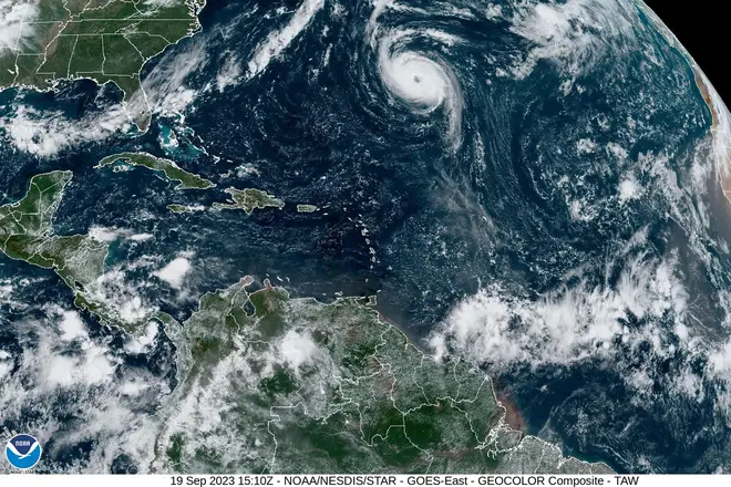
Hurricane Nigel, a category 2 storm, formed in the North Atlantic and is moving east. As of Tuesday it had sustained winds of 90mph, with gusts rising to 110mph.
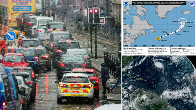
Wednesday night saw massive downpours and flooding that affected travel on Thursday morning.
Commuters woke up to some cancelled and delayed trains.
All lines running north between London Kings Cross/Moorgate and Stevenage were shut down after "a number of incidents".
"Trains may be cancelled, delayed by up to 90 minutes or revised", with "major disruption expected until 9am."
Disruption was also reported through Tulse Hill in Lambeth and Cheltenham Spa, as well as between Lewes and Wivelsfield in East Sussex and West Ealing and Greenford in west London.
Flooding earlier affected rail lines at Burnham, Buckinghamshire and between Swansea and Llandrindod in Wales, with both incidents having since cleared up.
There was also travel disruption on the Tube due to the wet weather, with parts of the District line, Metropolitan line and Overground suspended first thing.
The Overground and Piccadilly line are also facing delays as a result of train cancellations.Meanwhile, roads were turned to rivers in several parts of the country, causing further delays.