Clive Bull 1am - 4am
8 April 2024, 13:00 | Updated: 8 April 2024, 13:20

More weather warnings for wind and rain have been issued across the country following the disruption caused by Storm Kathleen.
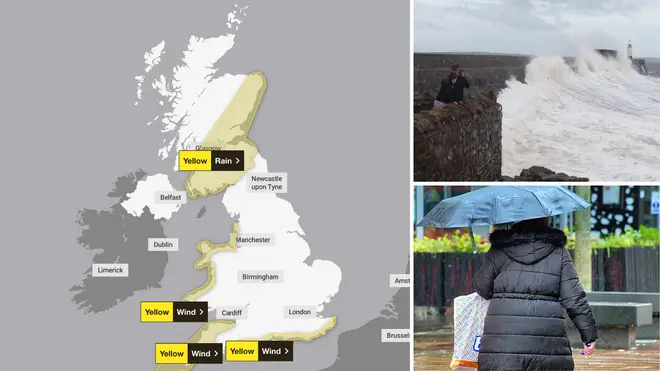
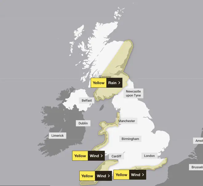
The Met Office issued four separate warnings covering southern England, western Wales and mainland Scotland from Monday to Tuesday evening.
The forecaster added that travel disruption and damage to homes and businesses were possible.
A yellow wind warning covering Cornwall and parts of Devon in south-west England is in place from 4pm on Monday to 6am on Tuesday, with gusts of 60-65mph widely expected along coastlines.

Further yellow wind warnings have been issued for southern England, from 9pm on Monday to midday on Tuesday, and coastal areas of Wales, from 1am to 3pm on Tuesday.
Read more: Met Office confirms 20.9C hottest day of year as Brits battered by Storm Kathleen rain and winds
Read more: Dozens of flights cancelled as Storm Kathleen batters Britain with 70mph winds and heavy downpours
The fourth yellow rain warning covers south and eastern parts of Scotland - including Edinburgh, Glasgow and Aberdeen. It is in place from 1am to 6pm on Tuesday.
⚠️ Yellow weather warning issued ⚠️
— Met Office (@metoffice) April 8, 2024
Rain across parts of western Scotland
Wednesday 0900 – 1800
Latest info 👉 https://t.co/QwDLMfRBfs
Stay #WeatherAware⚠️ pic.twitter.com/0HHOJSvWp5
Between 20-40mm of rain is expected across most areas, but some places could see as much as 50-60mm of rainfall.
The Environment Agency issued 38 flood warnings and 169 flood alerts across England as of Monday morning.
It said tidal flooding was likely along parts of the coasts of north-east England, Yorkshire and the Humber on Monday and Tuesday.
The Scottish Environment Protection Agency also had 38 local flood warnings and 18 flood alerts in place, while Natural Resources Wales issued 14 flood alerts.
Kathleen is the 11th named storm of the 2023/24 season and brought disruption to weekend travel with strong winds reaching 70mph and rain affecting much of the UK and Ireland.

Oli Claydon, meteorologist from the Met Office, said: "Certainly for the wind warnings, it's that combination of the high tide as well.
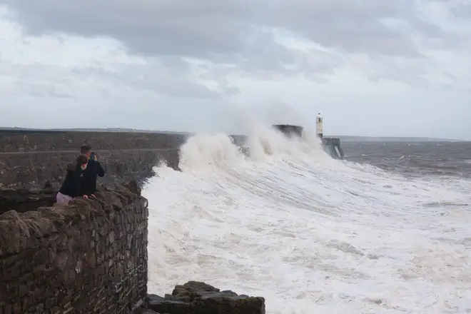
"If you're near the coastline do take care, don't get too close to any sort of edges or seafronts because you're likely to see some waves overtopping at times and there could be debris being flown around the coastline.
"With the rain warnings, it's just a case of knowing your flood risk."
A new system of low pressure will lead to wet and windy weather in south-west England, Wales and Northern Ireland on Monday, the Met Office said.
Heavy and blustery showers are also expected in the South East during the afternoon with hail and thunder possible, while there will be sunnier spells elsewhere.

Mr Claydon added: "It's probably parts of western Wales where you'll see the strongest combination of wind and rain in the south.
"The rain pushes further north quite quickly before the wind comes into play."
Cloud and rain will stall across parts of Scotland on Tuesday, but it will turn brighter elsewhere with scattered showers through the afternoon.
Unsettled conditions will continue into Wednesday as more clouds and rain arrive from the west and push eastwards throughout the day.
Some Brits enjoyed warmer weather on Saturday, with temperatures reaching a pleasant 20C or so in parts of the country.