Ian Payne 4am - 7am
10 December 2023, 21:06 | Updated: 10 December 2023, 21:08

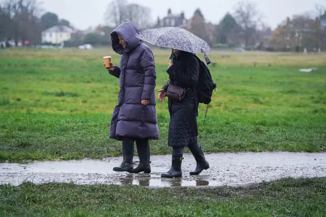
Rain and wind will batter Britain as part of Storm Fergus to end the weekend after torrid conditions on Friday and Saturday.
The storm named by the Irish Met Office with bring strong winds and rain to wide areas of the UK moving west to east just hours after Storm Elin saw 80mph winds recorded in Wales on Saturday.
The British Met Office has issued several rain and wind warnings - including for northwest England and southwest Scotland and other regions north of the border.
The weekend's storms even brought a tornado to Ireland which ripped the roof off a building in Leitrim.
Met Office Chief Meteorologist Andy Page said: “Storm Fergus will conclude what has been an unsettled weekend of weather for the UK. Fergus will bring some strong winds and heavy rain for a time late on Sunday and into the early hours of Monday morning.

“While the strongest gusts are expected in the Republic of Ireland, Storm Fergus will bring some windy conditions to western areas, including Irish Sea coasts, while also bringing some potentially impactful rain.
"The rain has potential to be disruptive in parts of northern England and parts of Scotland, especially where it’s falling on very saturated ground.”
The widespread poor conditions will continue into Monday though it will be broken up by drier spells before returning the blustery weather on Tuesday as low-pressure systems move in from the west.
Storm Elin brought large waves to batter coastal towns at their sea front before the alert was issued.

The wind has been caused by low pressure in the western parts of the UK, and that system has been named Storm Elin.
Met Office Chief Meteorologist Andy Page said at the time: "Wet and windy weather is the main theme of the forecast this weekend, though there will be some drier interludes in the south on Saturday afternoon.
"Winds and rain could be disruptive at times, which has resulted in the issuing of weather warnings for both wind and rain.
"Winds could peak around 70mph on exposed Irish Sea coasts, with gusts of around 45-55mph likely quite widely in England and Wales.
"A further 20-30mm of rain could fall over parts of Northern Ireland, northwest England and into southwest and central Scotland, with 40mm over some high ground."