Iain Dale 7pm - 10pm
28 December 2020, 11:04 | Updated: 28 December 2020, 11:08

Snow blankets parts of the UK
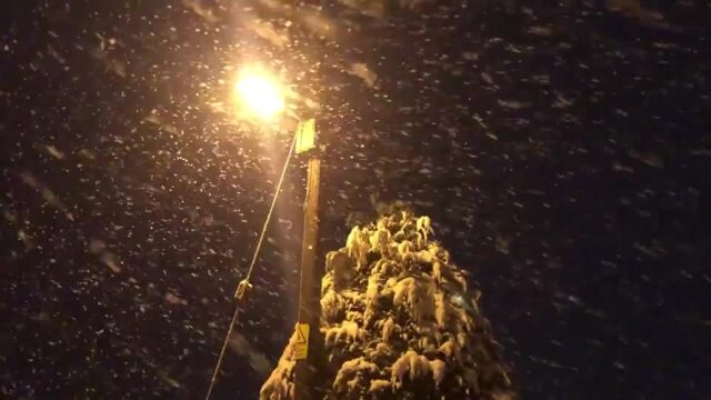
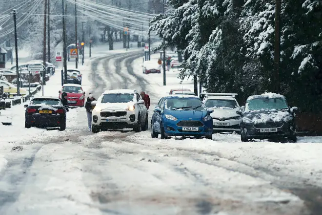
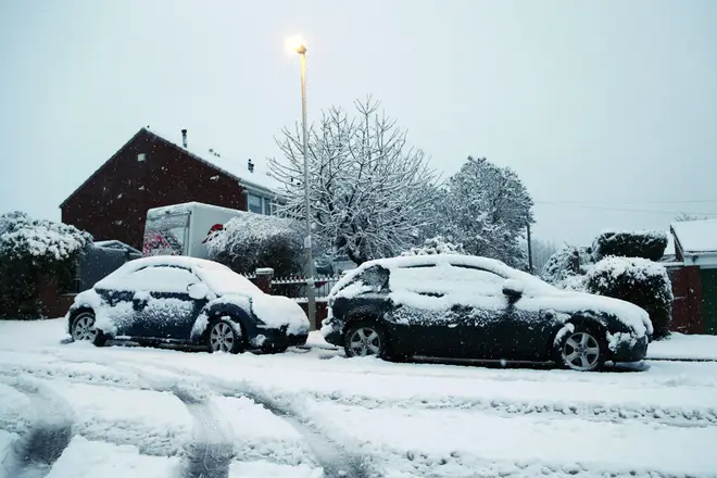
Snowfall has hit some parts of the UK which are gripped by a cold snap following days of stormy conditions.
The Met Office, which has yellow weather warnings for snow and ice in place across much of England and Wales, described it as "a cold and frosty start" to Bank Holiday Monday.
Heavy snowfall prompted Gloucestershire Police to warn members of the public to take care and to "only go out if it is essential to do so".
The force tweeted: "Heavy snow is starting to fall in the rural parts of the county. This will cause delays on the roads."
It had a number of reports of snow around the county causing disruption, which was hampering people in the Forest of Dean and the A417 around Birdlip.

Staffordshire Police also warned of "serious disruption", with several roads in the area impassable.
In the West Midlands, Dudley Zoo said it would be closed on Monday due to the snow.
The weather warning says there is the potential for patches of snow across parts of England and Wales with 5-10cm falling in a few places, such as higher ground in Wales above 200 metres.

It adds: "As well as snow, widespread ice may also be an issue, especially where treatment has been washed off road surfaces."
Parts of the East Midlands, East of England, London and the South East, the North West, South West, West Midlands and Wales are covered by the warning, which runs until Monday at 6pm.
The yellow warnings from the Met Office advise of the potential for injuries from icy surfaces and delays to trains and road transport.
Parts of the country are waking up to #snow this morning ❄️
— Met Office (@metoffice) December 28, 2020
The latest snowdar shows where snow is currently falling* 🌨️👇
*(highlighted by the white and light blue) pic.twitter.com/Lfj0o2M4zr
There were also 100 flood warnings in place in England on Monday morning.
The chilly conditions saw temperatures drop to -2.9C in Aboyne in Aberdeenshire, Scotland, on Sunday while St Mary's just off the Cornish coast had the top temperature of 8.5C.
Large swathes of London, the Midlands, the south, south west plus the east of England and Wales have also been warned that snow and ice could hit on Wednesday and Thursday.
The Met Office yellow warning suggests that up to two to five cm of snow could fall across parts of southern Wales, central and southern England, and there is a small chance of 10 to 15 cm settling in a few places, most likely on high ground above 200 metres.
There is also a risk widespread ice could form on untreated surfaces as the rain and snow clears on Wednesday night.
It comes after days of wintry weather over the Christmas period which brought flooding to parts of southern England before Storm Bella arrived on Boxing Day with winds of more than 100mph.
Flooding was also reported in parts of eastern England by Sunday morning, with kayakers taking to the roads in Norfolk in an attempt to traverse waterlogged streets.
Despite the bad conditions, gales meant that for the first time ever more than half of Britain's electricity was generated by wind power on Saturday.
According to energy firm Drax, 50.67% of the country's power was produced by wind turbines on Boxing Day.