Clare Foges 6pm - 9pm
29 November 2023, 11:07 | Updated: 29 November 2023, 12:15

London could be blanketed under 'wide snowfall' this weekend after Met Office issued new weather warnings.
Forecasters issued the new warnings for parts of Devon, the tip of Cornwall and counties in the east such as Essex hours after Brits in Scotland and the north woke to the first flurries of the year.
The Met Office weather warning reads."Showers, wintry in places, will continue to affect northern and eastern Scotland and eastern England through Thursday evening and overnight into Friday morning. These are likely to fall onto frozen surfaces allowing icy patches to form. From approximately the Humber northwards, showers will often fall as snow inland, with up to 2cm possible in places, and perhaps as much as 5 cm over high ground. Further south, any snow accumulations are more likely to be restricted to higher ground."

Read More: Exact time snow to hit UK as Met Office issues weather warning for later today
Read More: Snow alert issued as 11 areas to be hit by freezing temperatures - will your area be affected?
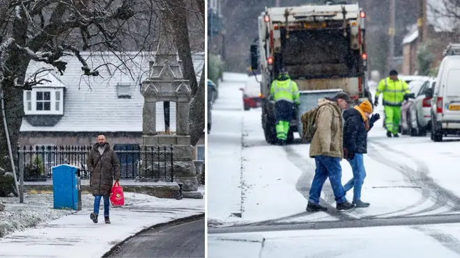
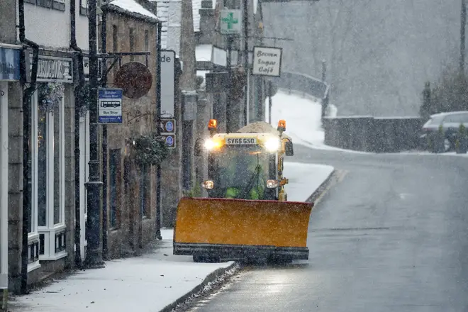
Today Brits across Northern England and Scotland are waking up to snow as an Arctic chill blasts the country.
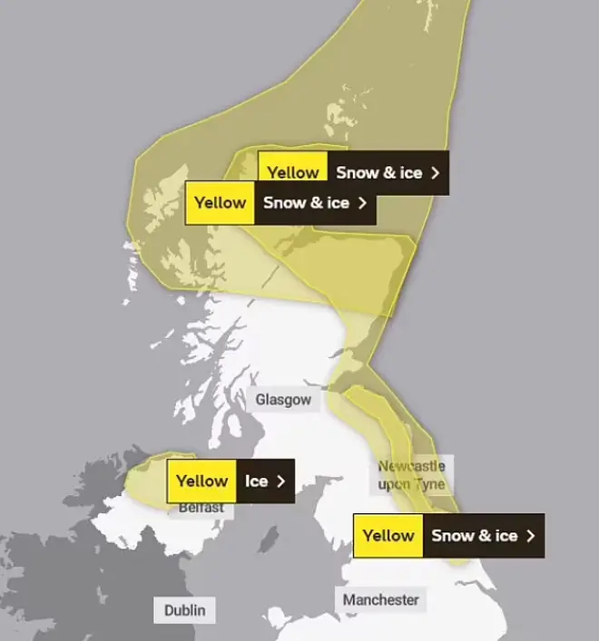
Yellow weather warnings have been issued by the Met Office and Thursday for snow and ice and cover northeast England, East Yorkshire, North Yorkshire, Humberside and large swathes of Scotland.
Videos on social media show commuters driving in blizzards overnight, while others show parked cars blanketed in white stuff on their driveways.
Brits across Northern England and Scotland are waking up to snow as an Arctic chill blasts the country.
Yellow weather warnings have been issued by the Met Office and Thursday for snow and ice and cover northeast England, East Yorkshire, North Yorkshire, Humberside and large swathes of Scotland.
Videos on social media show commuters driving in blizzards overnight, while others show parked cars blanketed in white stuff on their driveways.
Snow fell in North Yorkshire, with police taking to social media to make motorists aware of road closures on the A169.
Met Office forecasters are predicting up to 3cm of snow - especially for people in places away from windward coasts.
The Met Office has issued two yellow weather warnings - one for snow and ice until 11am today for parts of northern and eastern Scotland, north-east England and Yorkshire.
The second is set until 11am tomorrow for eastern Scotland and north-east England down to North Yorkshire.
The Met warned that people may see up to 5cm of snowfall in higher parts of northeast Scotland.

Writing on its website, the Met Office said: "Wintry showers will lead to ice forming on untreated surfaces during Tuesday evening and overnight into Wednesday morning. Snow will begin to accumulate, especially away from windward coasts, with 1-3cm possible. Higher routes of northeast Scotland may see up to 5cm of snow accumulate."
Some roads and rail services are likely to be impacted, with Britons warned to prepare for longer or delayed journey times on roadways, railways, and public transport.
Those unable to stay home as conditions turn icy and slippery are encouraged to plan their journeys using the relevant traffic websites for Scotland, England, Wales, and Northern Ireland.
Hello winter! #A9 #scotsnow #uksnow pic.twitter.com/IC5UGU1GbM
— MarkVoganWeather.com (@MarkVogan) November 29, 2023
The UK Health Security Agency (UKHSA) has issued warnings of its own, with yellow and amber cold-health alerts for northern regions of England until December 5.
Met Office deputy chief meteorologist David Oliver warned of an uncertain weather period on Thursday and Friday for the southern half of England and Wales.
He said: "The weather models are highlighting several possible solutions from very wet to mainly dry, with a mainly dry picture the most probable outcome at present.
"However, some models include the prospect of an area of low pressure developing and moving in from the south or south-west.'If this solution proves to be correct, we could see an area of warmer and moisture-laden air 'bumping' into the cold air further north. Along the boundary of the two air masses lies a zone across southern and central Britain where snowfall could develop fairly widely."
He added: "Snow in any affected area is unlikely to be anything more than transient and short-lived, but it could lead to small totals and some disruption over a few hours before melting."