Boxing Day Special with Shelagh Fogarty 1pm - 3pm
12 February 2024, 10:40 | Updated: 12 February 2024, 11:00

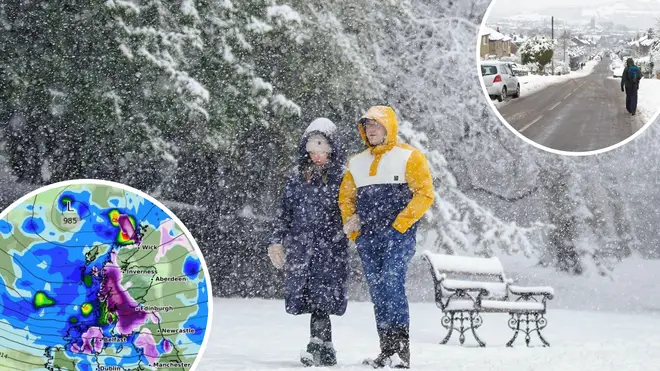
Brits are in for a freezing end to February with heavy snowfall forecast, according to a new weather map.
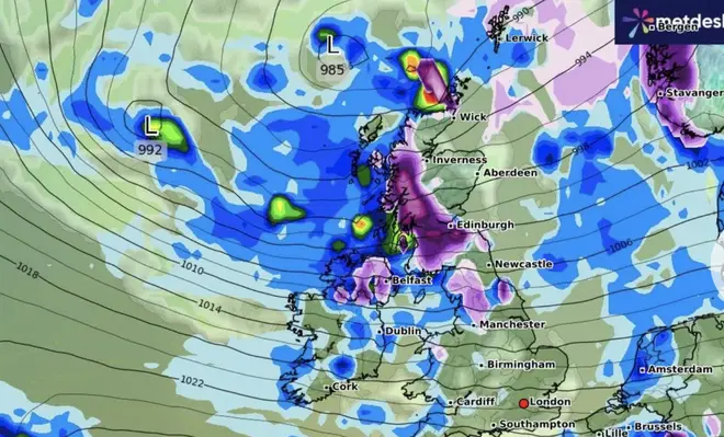
Large areas of the UK will be hit by the latest cold snap, according to WXCharts, towards the end of the month, around February 24 and 25.
According to the Metdesk charts, the snowfall will be the heaviest on the Sunday night.

While the snowfall could spread across the UK, areas across northern England, Wales and Scotland are likely to be hit the most.
As much as four inches of snow could fall in Scotland, they added.

The Met Office says its forecasts are most accurate around five days before a particular date.
However, it does have a long-range forecast, which gives a broad a sense of what the weather will be like over the coming weeks.
Its latest long-range forecast, running from February 26 to March 11, there is a potential for snow in this period.
Bright spells and showers on Monday morning 🌦️
— Met Office (@metoffice) February 11, 2024
A chilly start, with some icy patches possible in the north 🧊🧤 pic.twitter.com/EslJa5KVGo
It reads: "During late February and early March, there is a higher than normal likelihood of northerly or easterly winds dominating, which would increase the chance of colder and drier than average conditions.
"Spells of milder and wetter weather are still likely to occur at times, especially in the south and southwest, with the potential for snow on the boundary between milder and colder air."