Matthew Wright 7am - 10am
17 July 2023, 08:16 | Updated: 18 July 2023, 09:17

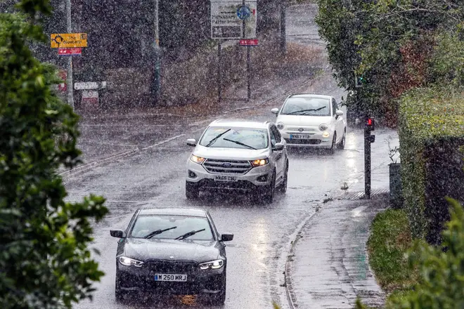
A new long range forecast from the Met Office has dampened any hope Brits may have had of enjoying better weather in August, while the rest of Europe faces record-breaking temperatures.
The forecast predicts the rest of July's weather will be a mixtures of sunny spells and showers, with the north and east of the country more likely to hit by rain.
The forecast goes on: "Generally light winds but still feeling cooler than average for many.
"As the end of the month approaches, changeable and at times unsettled, conditions remain likely, meaning further periods of sunshine interspersed with showers."
There's even a change of these unsettled conditions turning into thunderstorms, particularly in the northwest, though temperatures may remain at average levels (around 23C).

For anyone who thought August might bring sunshine and scorching temperatures, think again.
Conditions will remain unsettled during the first couple of weeks of August, with intermittent sunny spells and periods of rain.
It's not until the end of the month that the weather will start to the settle down, though the possibility of very warm or hot conditions is "less likely" than usual, the forecast adds.
The Met Office says: "A continuation of unsettled conditions is likely during the early part of August, with a mixture of sunny spells and periods of rainfall.
"Most of the rainfall is expected to be in the form of showers, but there is a chance of some more prolonged spells of rain that may push rainfall totals to above average for the time of year.
"More settled conditions become increasingly probable toward the middle of the month, with the chance of showers decreasing."

Climate change is 'suddenly ramping up' says meteorologist
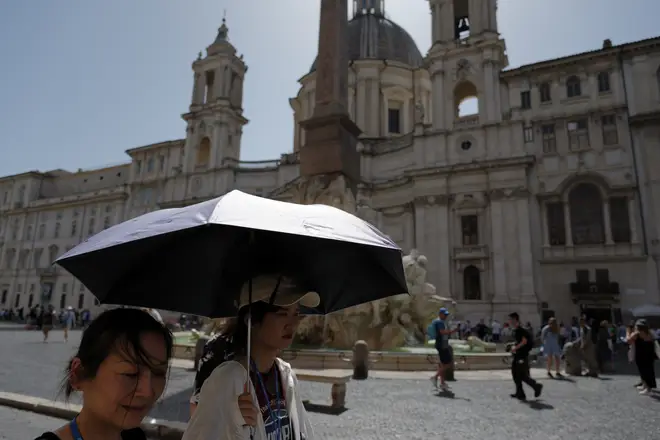
The forecast is in stark contrast to the rest of Europe's summer, where a number of countries battle with the scorching Cerberus heatwave.
Temperatures have hit 45C in a number of countries, including in Spain and Italy, with warnings it could reach as high as 50C.
John Hammond, a chief forecaster at WeatherTrending, told LBC's Ian Payne that the weather phenomenon El Niño - a warming of temperatures in the pacific - has played a part in rising temperatures.

He added: "What's interesting this time around...much of the north Atlantic is also much warmer than it would normally be at this time of year.
"And that's exacerbating the fact that the continental areas are getting warm. When the winds are coming of the sea, normally you'd expect that to have a cooling effect.
"But of course with the seas that much warmer, that cooling effect is somewhat reduced, which is compounding the heating which is taking place across southern Europe and the south west of the USA - where records may well be broken."
Mr Hammond said the heat may ease at some point later on in the week, but said the pattern is set and "may well come back again".
He added that rising temperatures can be put down to, in part, climate change. While El Niño is a natural phenomenon, the base rate from which temperatures rise is higher due to climate change, making heatwaves even more extreme.