Live
Live: Snow blast to hit UK as temperatures to plummet to -8C 'within days'
1 February 2024, 14:34


Snow is expected to return next week as temperatures plummet to -8C in some parts of the UK.
Listen to this article
Loading audio...
A snow blast will make its way over from Norway, falling primarily across Scotland and potentially, parts of northern England.
WXCharts, which uses data from the Met Office, has predicted that the coldest day will be on February 10.
It could even reach as low as -8C on February 10.
Jim Dale, Senior Meteorological Consultant at British Weather Services said: “We haven’t got to end of winter yet and next week will be colder.
“There will be snow in Scotland and the north and potentially in the south.”
Follow the latest updates below.
Temperatures will be milder down south but near freezing up north
There will be a stark difference in temperatures as we head into the weekend, with highs of 10C down south - but closer to freezing in the north.
Up to 10 inches of snow expected in parts of country
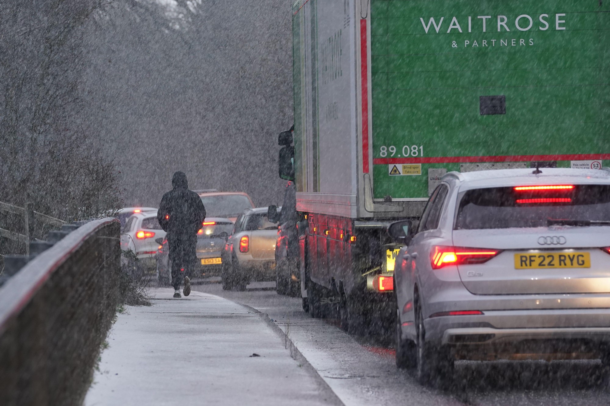
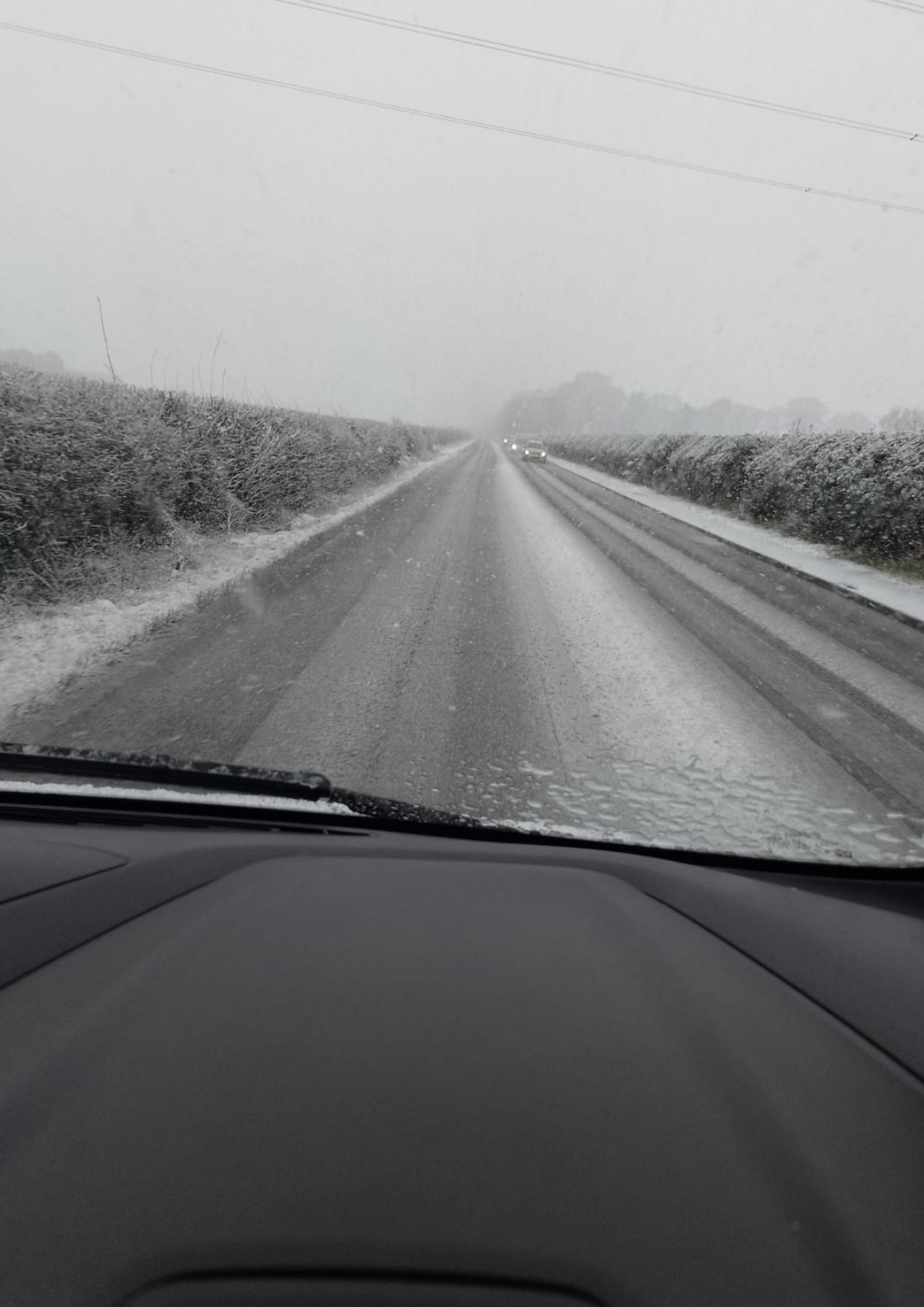
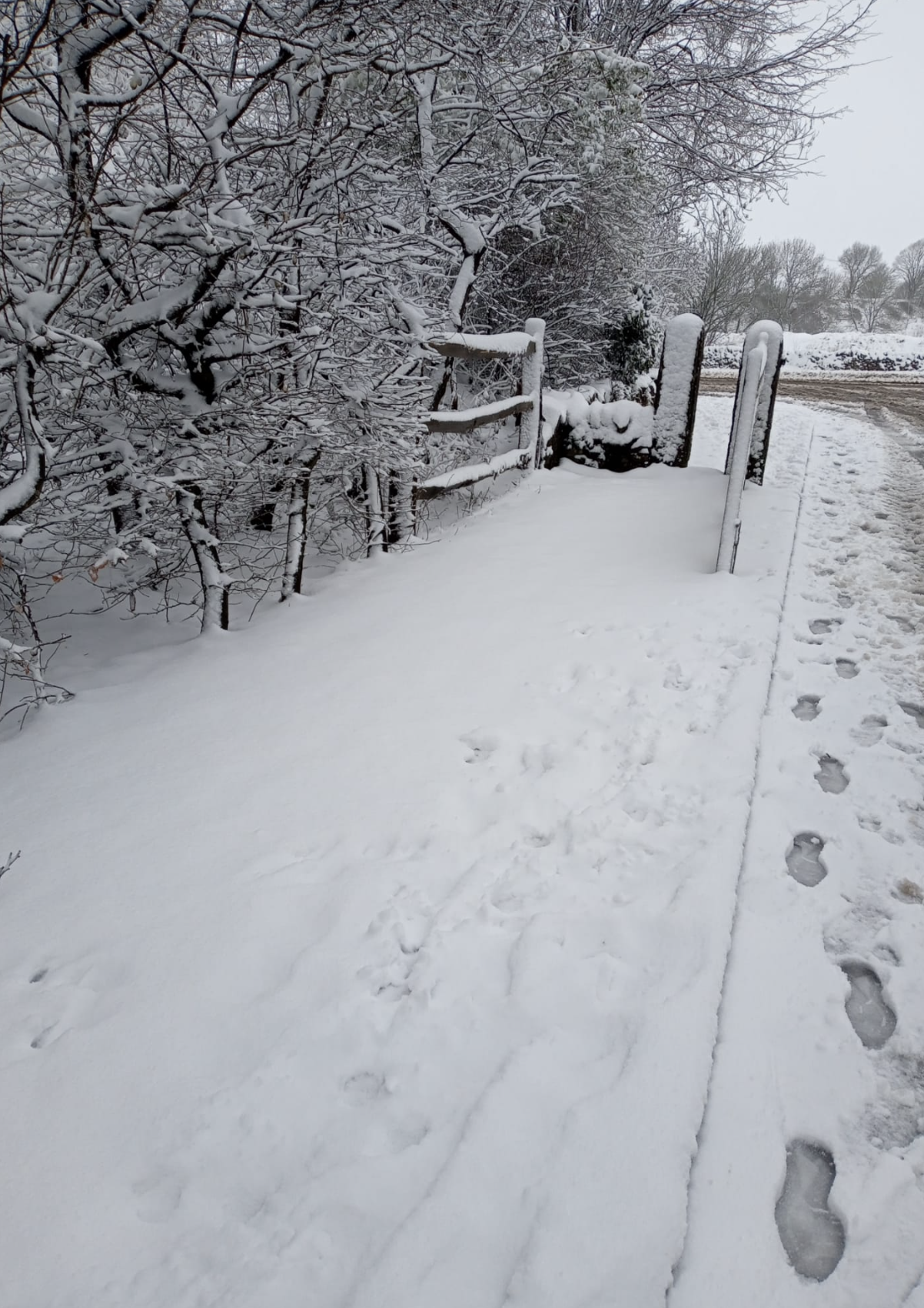
Snow hits UK as schools closed in various regions
The Peak District, Derbyshire and Nottinghamshire are among some of the areas that have seen snowfall so far today.
Parts of Buxton in the Peak District have seen such heavy snow, roads have been described as ‘unpassable’.
A number of schools in North Wales and northern England have shut today as the regions prepare for heavy snow and ice.
Travel disruptions are expected as the wintry conditions continue.
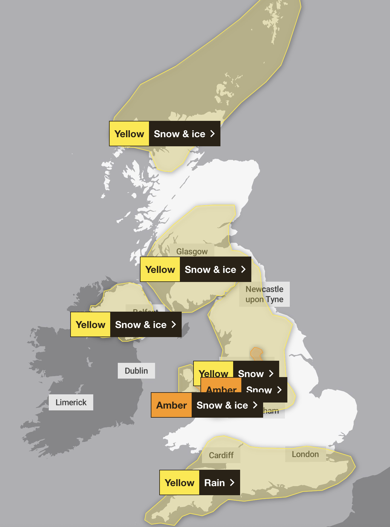
Parts of England and Wales braced for heavy snow
Parts of northern England and Wales are braced for heavy snow later.
The Met Office has issued two amber warnings - with transport disruption expected in the Pennines and Peak District.
Less severe yellow weather alerts cover a wider area of the UK.
-10C freeze on way
Parts of the UK will see temperatures as low as -10C by February 11, according to some forecasts.
The Met Office’s long range forecast predicts some snow this weekend and ‘a chance colder conditions could start to feature’ from the second week of February.
Check back here in the morning for the latest updates
We'll be back in the morning with the latest forecasts.
Friday outlook: Mild start with a chance of rain
The Met Office forecast for Friday reads: "A rather cloudy and windy day for many, with some rain at times in the west and northwest. Brighter spells in the east and lee of hills elsewhere. Very mild."
A look ahead to the weekend weather
While snow is expected to return some time next week, it will continue to be relatively mild as we approach the weekend.
Friday will be rather cloudy and windy day for many, the Met Office says, with some rain at times in the west and northwest.
"Brighter spells in the east and lee of hills elsewhere. Very mild," they said.
From Saturday to Monday:
Patchy rain, then brighter in the south on Saturday. Blustery showers further north. Possibly very wet in the northwest thereafter. Elsewhere further patchy rain, and some brighter breaks. Rather windy.