Lewis Goodall 10am - 12pm
22 January 2023, 08:51

Temperatures are set to plummet even further in February as freezing air could shift down from the Arctic towards the UK.
The same phenomenon that caused the Beast from the East in 2018 and the Big Freeze in December 2010 could take place next month.
High polar vortex winds circling around the North Pole normally keep freezing air trapped in the Arctic could fall, allowing the air to escape south.
One effect of this phenomenon is weakening the Gulf Stream wind from the Atlantic that usually keeps the UK's temperatures relatively mild.

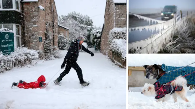
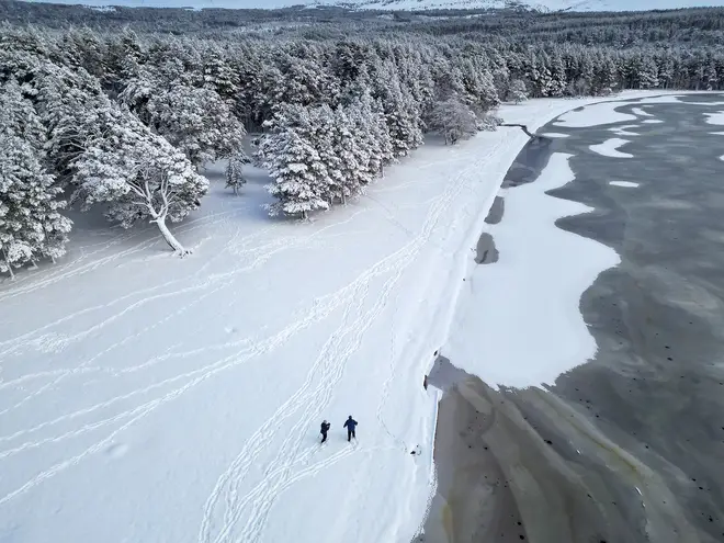
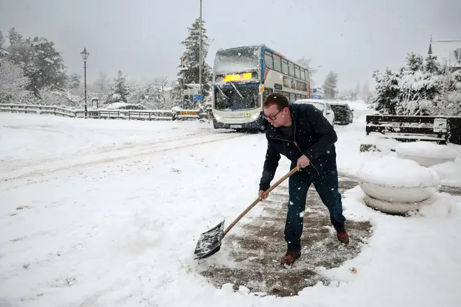
As a result, the country could see temperatures lower even than the -10C recorded in Scotland last week, with more snow also a possibility.
And meteorologists think there is about a 25% chance of an even rarer event taking place - a sudden stratospheric warning (SSW).
That is when the polar vortex winds weaken to such an extent that the air temperature in the Arctic suddenly heats up, sending the freezing air south in even greater mass.

This would be the first SSW the UK has experienced since 2021, when the country recorded its coldest temperature for 26 years, -23C in Aberdeenshire.
Met Office forecaster Alex Deakin said: "Computer models show an SSW is a possibility."
The current spell of cold, sunny weather is set to last until Tuesday. Southern England faces -5C lows on Sunday morning and 3C across the next few days. The north will be more drizzly but slightly warmer, at about 7C.