Tom Swarbrick 4pm - 6pm
23 October 2023, 16:24 | Updated: 16 November 2023, 08:49

September and October brought unseasonably warm weather to parts of the UK, with London soaring past 25C earlier this month.
But since then, the weather has been much more Autumnal, with temperatures dipping into single digits and Storm Babet bring torrential rain and destruction across the UK.
The cold and wet weather is set to continue into November, with snow seemingly on the way.

According to WXCharts, temperatures will drop below 0C at the start of November.
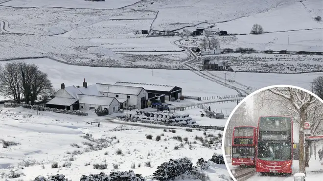
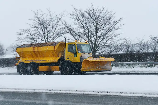
As a result, thin lawyers of snow could be on the way to Scotland and the north of England.
Read More: Forest floor 'ripples like the sea' as trees buffeted by strong winds in Storm Babet
That is likely to start from November 1, the weather charts suggest, but it will be heavier from November 3.
The snow is not expected to be particularly deep, reaching 1mm until around November 6.

According to the Met Office's long-range forecast, heavy rain is expected to continue between November 7 and November 21.
"The unsettled conditions of the past couple of weeks are likely to continue into the first week of this period," it reads.
"This means further rain in most areas, probably heaviest in the south or southwest. The east facing hills in northern England and Scotland may also see further heavy rainfall.
"Strong winds are expected to be associated with the rain at times, with the ongoing risk of gales, fairly typical for this time of year.
"Further into November, increasing spells of settled dry weather are a little more likely than before, especially in the north, and should these occur, winds could come from a more easterly direction, which could bring lower-than-average temperatures, but only a low risk for now."