James O'Brien 10am - 1pm
10 November 2023, 15:51 | Updated: 16 November 2023, 08:49

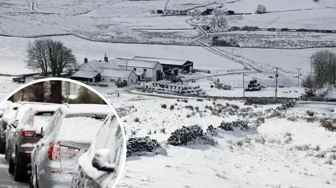
A fresh weather forecast shows snow could fall in the next two weeks and temperatures drop below 0C.
A threatening storm forecast for later this month could battered the UK later this month, according to weather maps from WX Charts.
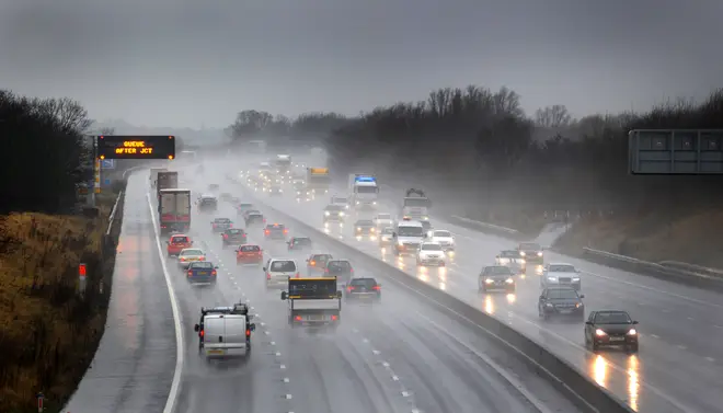
The storm, coming in from the Atlantic, could reach the UK in the next ten days, bringing heavy rain and even some snow.
Exacta Weather meteorologist James Madden said: "Conditions do appear extremely favourable for a number of more potent wintry blasts to occur throughout January and into February, and these could turn out to be quite prolonged in nature, and for at least a week or two at a time.
"Widespread snowy conditions are also likely to accompany these wintry blasts and put us in a winter wonderland on a number of occasions."

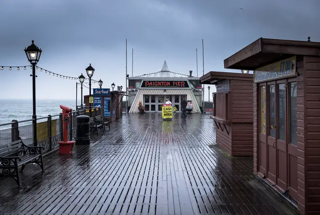
According to the Met office, only "very brief" drier interludes are on the horizon, with plenty of rain.
Its long-range forecast, which runs from November 14 to 23, reads: "Remaining predominantly unsettled through this period with further showers or longer spells of rain for most of, if not all of the UK interspersed with some likely very brief drier interludes.
"Rainfall totals will tend to be higher across western areas of the UK, especially coasts and hills, although in general nothing exceptional for this time of year.
"Meanwhile parts of the far north, in particular the Northern Isles will likely see less rainfall than elsewhere. In association with the rain it will often be windy, especially around coasts in the west or southwest.
"Temperatures for a time at least becoming milder than average, before trending closer to average by the end of the period."
Read More: Light at the end of the tunnel: Rail strikes could end as RMT union and train firms reach agreement
There had even been talk of a third destructive storm is as many weeks, after Storm Ciaran battered Britain.
But the Met Office dampened fears of Storm Debi, with the heavy rain not set to constitute a storm.
The rest of its long-range forecast, running into December, continues: "Unsettled conditions likely to dominate with further rain and showers for all regions.

The heaviest and most frequent spells of wet weather are most likely in northern and western parts of the UK.
"Drier spells of weather do remain possible, albeit brief, these most likely to occur in the south. Here, some overnight patchy frost and fog is possible at times but, overall, the chance of widespread fog and frost is lower than normal.
"Temperatures generally on the mild side for the time of year, but possibly easing back close to, or locally below normal by early December, perhaps more especially in western and northern areas."