Clive Bull 1am - 4am
12 January 2021, 11:47

Snow is likely to fall across many parts of northern England on Thursday, with the possibility of a Beast from the East 2 in the middle of next week.
Met Office meteorologist Alex Burkill said that freezing rain could turn to snow over parts of Scotland and north-east England from Wednesday night into Thursday morning.
"Through Thursday itself there'll be further rain across the bulk of the UK and this could bring some fairly significant snow a bit further southwards through Thursday," he said.
Read more: Royal Mail publishes list of Covid blackspots suffering from limited delivery services
"By Thursday afternoon we could be looking at the risk of snow across many parts of northern England and into the Midlands and perhaps a little bit further east as well."
Though there are warnings of as much as 30cm of snow in Scotland, Mr Burkill said that rainfall would "go some way to preventing much snow lying" elsewhere through Thursday in particular.

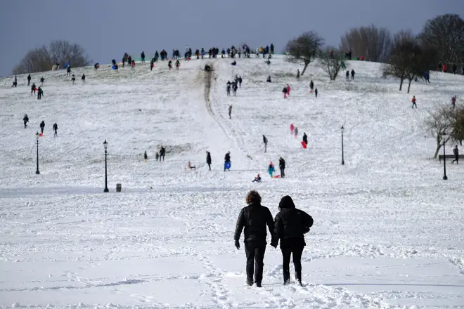
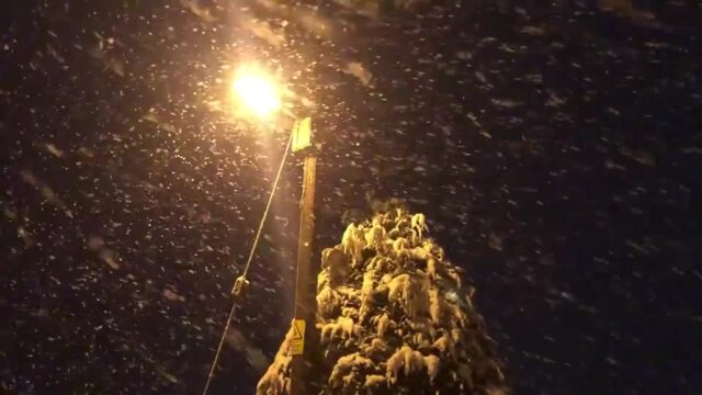
Snow blankets parts of the UK
"For northern England we could be looking at around 15cm, perhaps 20cm by the end of Thursday over the highest routes," he said.
"Further south I'm not really sure, particularly into the Midlands, that much if any will settle."
He said central and eastern parts of England could see "maybe one or two centimetres" of snow over the highest routes.
"But because of how wet the ground is going to be leading up to it and how much rain there'll be mixed in around as well there probably won't be a huge amount settling," he said.
Temperatures could drop as low as minus 7C in the east of England on Wednesday night and possibly to minus 11C or minus 12C in Scotland, he said.
"Through Wednesday and into Thursday I think if you're stuck under the rain and you have that snow then temperatures could really be suppressed even by day," Mr Burkill said.
Drier, sunnier ☀ and cold ❄ across northern & central parts of the UK this afternoon, these conditions spreading southwards. Meanwhile, it will be a cloudier afternoon, with outbreaks of rain 🌧 across south Wales and southwest England, where it will be much milder 🌡 pic.twitter.com/1qxwp3081H
— Met Office (@metoffice) January 12, 2021
"Some places may only just about scrape above freezing on some days, so highs of between zero and 2C in some places."
Further wintry weather is forecast to arrive on Saturday, and that "could bring heavy rain and also some significant snow particularly for central parts of England".
It is possible temperatures will plunge further next week, Mr Burkill said, and there is "very much a possibility" of a Beast from the East 2 in the "middle of next week".
The first Beast from the East, the name given to the significant snowfall in February 2018, happened when a sudden stratospheric warming event sent freezing winds from Siberia.
Mr Burkill said that for such weather to occur next week, "what we'd need is a blocking area of high pressure, particularly to the north of the UK, and that would then drag in that cold easterly wind".
"There are some signs that we could get something similar to that during the middle part of next week so that's what we're looking out for," he said.
"It's too early to say with any confidence, however there are some signs.
"Some models are suggesting we could get cold air coming from the east, north-east which at this time of year is very cold indeed, but it's by no means a guarantee."